Why Weather Matters More on the Water
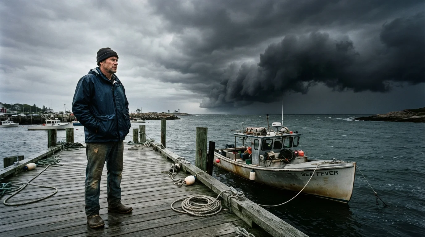
On land, an unexpected rain shower means reaching for an umbrella. On the water, deteriorating conditions can quickly escalate into a life-threatening situation. Waves, wind, lightning, and reduced visibility combine in ways that overwhelm even well-prepared crews aboard small and mid-sized vessels. According to the U.S. Coast Guard, weather is consistently cited as a contributing factor in a significant share of recreational boating accidents annually.
The challenge is that marine weather is genuinely more volatile than conditions ashore. Water amplifies wind effects - a 20-knot breeze over open water generates considerably rougher seas than the same wind over flat terrain. Thunderstorms can build in under an hour, particularly in the interior lakes and coastal bays common across the US. If you're heading out on the water for the first time, understanding the basics of weather assessment is as fundamental as knowing how to start the engine.
Afternoons Are Higher Risk in Summer
On many US waterways - inland lakes, bays, and coastal areas - afternoon heating drives the development of convective thunderstorms, often with very little warning. If your trip extends into mid-afternoon during summer, build in an earlier return window or identify sheltered anchorages along your route. Early morning departures typically offer the most stable conditions.
What You Need Before You Start
Effective pre-departure weather assessment requires a few reliable tools and a consistent habit of using them. These aren't optional extras - they're core safety practices.
What you will need
VHF Marine Radio
Receive continuous NOAA weather broadcasts and special marine warnings on dedicated WX channels.
Marine Weather App with Radar
View real-time Doppler radar, storm cell movement, and wind forecasts specific to your waterway.
Handheld Barometer or GPS with Barometric Trend
Monitor pressure changes at the dock to detect approaching weather systems before they appear visually.
Nautical Chart of Your Route
Identify sheltered coves, marinas, or anchorages where you can wait out unexpected weather changes.
Step-by-Step: Assessing Conditions Before Departure
Work through the following steps every time you plan a trip, regardless of how clear the sky looks from the parking lot. A few minutes spent here can prevent the majority of weather-related incidents. Pair this with your broader pre-departure safety checklist for a comprehensive pre-launch routine.
Check the Official Marine Zone Forecast
Start with NOAA's marine zone forecast for your specific body of water. These forecasts are issued by National Weather Service marine offices and cover coastal waters, the Great Lakes, and major inland regions. Look specifically for: predicted wind speed and direction, wave height, visibility, and any Small Craft Advisories, Gale Warnings, or Storm Warnings in effect. Do not rely on a general land-based forecast - marine zones reflect conditions over open water, which differ meaningfully from shore readings.
Review Doppler Radar for Storm Cell Activity
Open a radar application and study the movement and intensity of any storm cells within roughly 50 miles of your planned route. Pay attention to storm cell speed and direction of travel, not just current position. A cell 40 miles away moving toward you at 30 knots can reach your location in under 90 minutes - well within a typical half-day outing. Look for bow echoes or hook signatures in radar imagery, which indicate organized, fast-moving storm structures.
Listen to NOAA Weather Radio
Tune your VHF marine radio to a WX channel serving your area before departing. NOAA Weather Radio broadcasts continuous weather information and issues priority interrupts for Severe Thunderstorm Warnings, Tornado Warnings, and Special Marine Warnings. This real-time audio layer catches updates that may lag on app-based forecasts by 10-20 minutes during rapidly evolving situations.
Evaluate Your Vessel's Limits Against Forecast Conditions
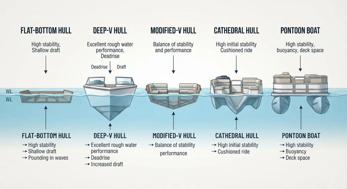
A forecast showing 15-knot winds and 2-foot chop is routine for a 25-foot center console but potentially hazardous for a 12-foot aluminum jon boat. Cross-reference your vessel's size, freeboard, and stability characteristics against predicted wind speed and wave height. As a general guideline, most small open boats and personal watercraft should treat any Small Craft Advisory - typically issued for sustained winds of 21-33 knots or hazardous wave conditions - as a firm no-go signal.
Make and Communicate Your Go or No-Go Decision
Based on all sources reviewed, make a deliberate go or no-go call before untying. If you decide to go, tell someone on shore your float plan: where you're headed, your expected return time, and who to contact if you don't check in. If conditions are borderline, build in a hard turnaround time - before afternoon heating drives convective storm development. A no-go decision is never a failure; it reflects sound judgment and is fully reversible in a way that an on-water emergency is not.
Forecast Apps Have Time Lags
Commercial weather apps aggregate model data that can be 10-30 minutes behind current observations during fast-moving storm events. Always cross-reference app data with a live NOAA Weather Radio broadcast. If a Special Marine Warning is issued while you're underway, seek shelter immediately rather than attempting to outrun the system.
Reading the Sky and Water at the Dock
Digital forecasts are a starting point, not a substitute for direct observation. At the dock, train yourself to read what the environment is telling you in real time.
- Cloud formations: Towering cumulonimbus clouds (tall, anvil-shaped) signal thunderstorm activity. Fast-moving dark bases indicate strong updrafts. High, wispy cirrus clouds moving in quickly often precede a frontal system within 24 hours.
- Wind shifts: A sudden change in wind direction - especially a backing wind that shifts counterclockwise - can signal an approaching low-pressure system or squall line.
- Water surface: Darkening patches or rapidly building chop in the distance indicate gusts before they reach you. Glassy conditions can change faster than most newer boaters expect.
- Barometric pressure: A rapidly falling barometer (more than 0.1 inches of mercury per hour) is a reliable precursor to deteriorating conditions. Many marine GPS units and handheld devices display this trend.
These skills develop with time on the water. The myths that circulate among new boaters - such as the assumption that calm morning weather guarantees a safe afternoon - deserve active pushback. Conditions change.
Lightning on the Water Is Immediately Life-Threatening
Open water is one of the most exposed environments during a lightning storm. If thunder is audible, lightning is within striking range - typically within 10 miles. Get off the water and away from the vessel if possible, or shelter in a fully enclosed cabin if return to shore is not immediately feasible. Do not wait to see lightning before acting. The 30-30 rule - seek shelter when thunder follows lightning by 30 seconds or less, and wait 30 minutes after the last thunderclap - is a practical baseline, but earlier action is always safer.